
DENVER — On the morning of Jan. 17, 1994, a magnitude 6.7 earthquake ripped through Southern California. What came to be known as the Northridge Earthquake killed dozens of people and caused billions of dollars in damage.
New research shows something similar could happen in Colorado, too.
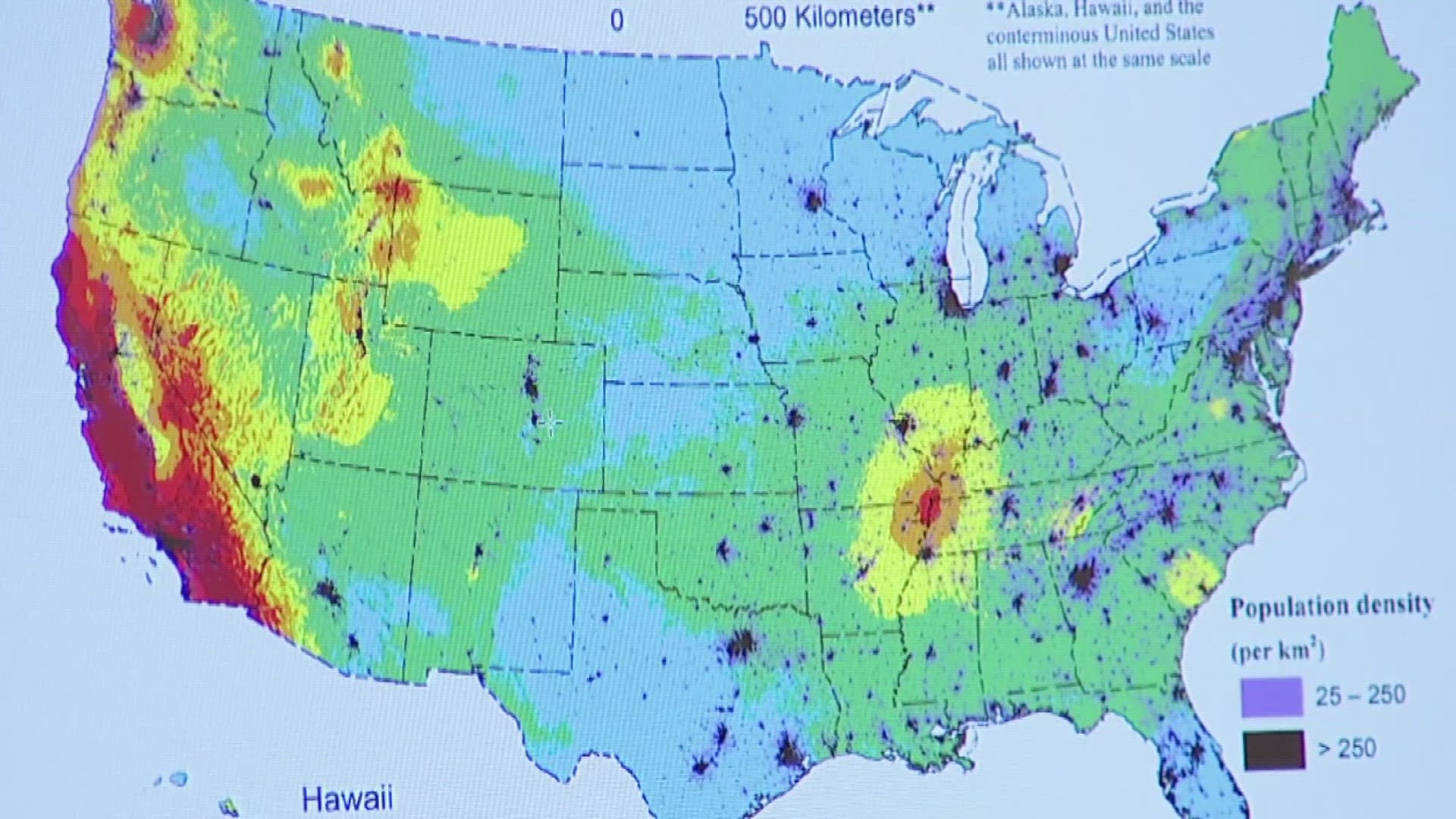
Mark Petersen, a research geophysicist a the U.S. Geological Survey in Golden, is the lead author of a study that created color-coated maps of where future earthquakes are most likely to occur.
The new seismic hazard model found nearly 500 new faults nationwide. Six of the newly found faults were discovered in Colorado.
"These maps are made so that we can understand where future earthquakes will occur, how often and the sizes of different earthquakes, and the ground shaking that can occur from each of those events," he said.
Colorado is no stranger to earthquakes. In 1882, a magnitude 6.6 earthquake rumbled the Denver area. An article in the Rocky Mountain News documented the "sudden trembling."
There wasn't much development at the time, so damage was limited. But imagine if the same-sized earthquake, one about the size of the Northridge quake, happened now.
"I think that it's not as likely as it is in California," Petersen said. "But we could have that kind of an earthquake."
Petersen pointed out that the new model is not meant to scare people but to make them aware that even in Colorado, they need to be prepared.
"That we're taking precautions to be able to protect our families and loved ones and our homes," he said.
In addition to educating the public about earthquake risks, Petersen said he also hopes the study will make sure buildings and infrastructure are built to withstand intense shaking.


More 9NEWS coverage of Colorado's climate:
SUGGESTED VIDEOS: Colorado Climate